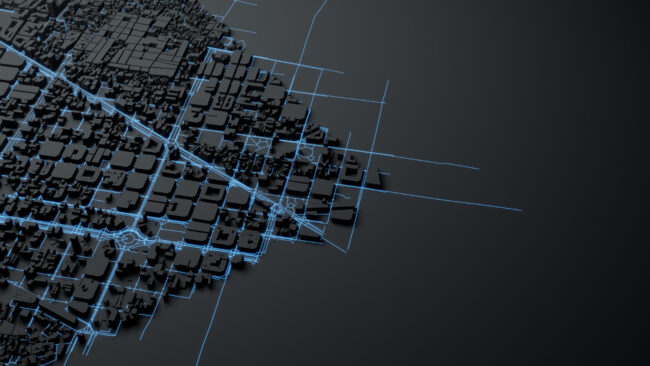
How GIS Integration Enhances Engineering Workflows in Urban Environments
Geographic Information Systems (GIS) have become an indispensable tool in modern engineering, particularly in addressing the challenges of urban environments. By seamlessly integrating spatial and geographical data into engineering workflows, GIS improves accuracy, streamlines planning, and boosts the efficiency of infrastructure projects. For densely populated urban areas like those in California, where space is limited…


