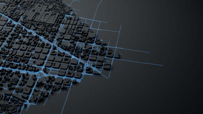
GIS integration in engineering for urban infrastructure planning

How GIS Integration Enhances Engineering Workflows in Urban Environments

Geographic Information Systems (GIS) have become an indispensable tool in modern engineering, particularly in addressing the challenges of urban environments. By seamlessly integrating spatial and geographical data into engineering workflows, GIS improves accuracy, streamlines planning, and boosts the efficiency of infrastructure projects. For densely populated urban areas like those in California, where space is limited…

Emerging Trends in Technical Drawing: From 2D to 3D Modeling

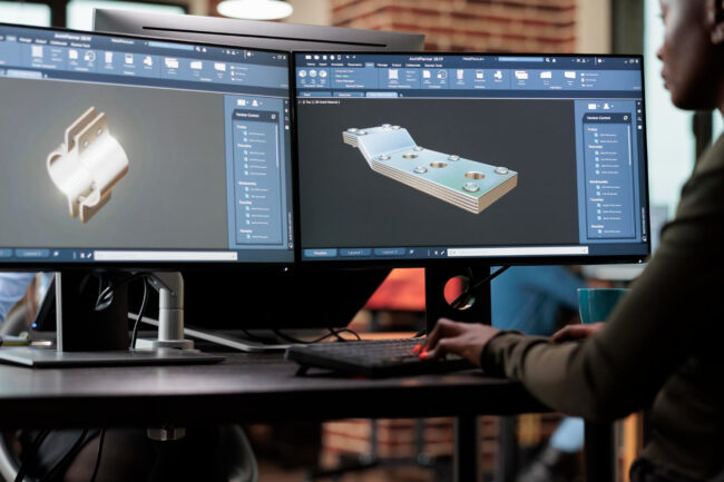
The field of technical drawing has witnessed groundbreaking advancements over the past few decades. Once dominated by traditional 2D designs, advancements in software and technology have ushered in an era of 3D modeling tools and techniques that are redefining modern engineering and design practices. For engineering managers, technical project leaders, operations directors, and businesses in…